
The parish of Patrington is situated in what was once the wapentake of Holderness, South division, part of the historical East Riding of Yorkshire (see maps in Introduction). Before the 1832 parish boundary changes it included the sub-parishes and localities of Patrington Haven and Enholmes. In the early Middle Ages it also included a large area of silt land lying between the village of Patrington and the river Humber on which the hamlets of Tharlesthorpe and Frismarsh were built. However, by the 14th century the area had become totally submerged and the river flowed within two kilometres of the village. Patrington was the market centre for much of south Holderness, but it lost its access to the Humber when the same area silted up again in the 19th century, marking the decline of this activity. The area where the market was held survives in the street name Market Place. The boundaries of the parish now extend to the north west, encompassing the former parish of Winestead.

The name Patrington, Patrick’s town, is Anglian, but the settlement is believed by some historians to be much older and situated where the Roman road that starts at the Antonine Wall terminates at the Humber, the site being occupied by a prætorium. It is known that a Roman road led from Beverley to Patrington, but no structural remains of the period have been discovered in the village, and it is now generally accepted that the prætorium was at Petuaria, today’s Brough, lying some 20 kilometres to the west of Hull.
Patrington was given by the Danish king Canute to Archbishop Alfric of York in the year 1033. After the Conquest, the archbishops retained possession of the manor and held it independently of the rest of Holderness, which was initially granted to Drogo de la Beuvrière, then to the counts of Aumale. At the Dissolution in 1545 the manor passed to the Crown which let it during the 16th and 17th centuries (except for the Interregnum period) to various families, the chief lessees from the early 1600s being the Hildyards. A manor house was recorded in 1340 but was no longer standing by the 17th century. The moated site behind the rectory on the south side of Northside (formerly North Street), which still lay empty in the late 1940s, perhaps marks its site, the whole area today being covered by new housing. In 1672 Patrick’s Lodge, which stood on the site now occupied by Bleak House, was the largest house in the village with seven hearths. It was the residence of Sir Robert Hildyard in the mid 1600s but had been demolished by the late 1700s. The house that now calls itself Manor House stands on the north side of North Side and was built in 1743.
 |  |  |
The locations of the two hamlets that disappeared under the waves are unknown, though both were still mentioned as late as the 1540s. Frismarsh is believed to mean fresh marsh and was first recorded in 1130. In 1377 there were 76 poll tax players, and Meaux Abbey had arable land and a wind mill there. Prominent people were Osbert of Frismarsh and the Constables of Frismarsh. Tharlesthorpe, Thorald’s village, was larger and recorded in Domesday as a separate holding of the archbishops of York. As at Frismarsh Meaux Abbey had arable land there, together with a wind mill, meadows and pasture land for sheep. In 1377 the hamlet had 125 poll tax payers, but by 1399 all the abbey’s lands had been lost to the sea, despite an attempt to improve their defences. Prominent people were the Ros, Constable, Forz and Fauconberg families.
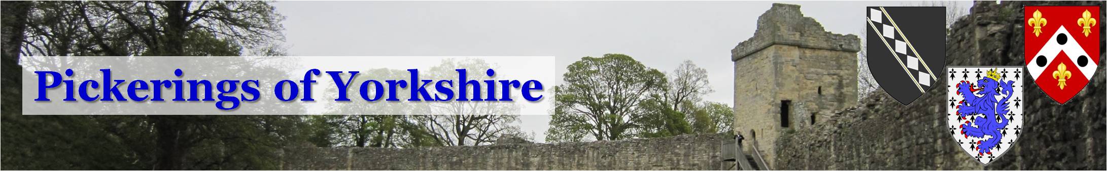
A church at Patrington was first recorded in 1256, but reused stones from the 12th and 13th centuries indicate that an older building previously stood on the site. The present church is dedicated to St. Patrick and was assigned by the archbishop of York to the canons of St. John’s College, Beverley. It remained with the canons until the Dissolution, when it was taken over by the Crown. The advowson was transferred to private hands at the same time, the Constables having it from c1560 to 1717. St. Patrick’s was built of stone in the Decorated Gothic style between c1300 and c1400, when it was still under the lordship of the archbishops of York, their wealth no doubt accounting for the huge size of this parish church and the short construction period ensuring its rare unity of style. This and its imposing beauty gave rise to its designation as the Queen of Holderness, the King of Holderness being St. Augustine’s church at Hedon. All the main construction was carried out in succession, starting in c1300 with the south transept, followed by the north transept, the crossing tower, the nave arcades and in the 1340s by the chancel and the nave aisle walls, at which point the Black Death halted the progression, though the spire and east window had been built by 1400. The spire is said to be one of the finest in the country. I well remember as children my sister and I observing the “men holding it up” when passing through Patrington on our way to the coast with our parents. The “men” were of course the buttresses standing atop each corner of the tower. Notable features of the church of St. Patrick are the piscina and sedilia and the modern gilded oak reredos in the chancel, the rood screen separating the chancel from the nave, the fluted columns with their richly carved capitals, the corbels and the font in the nave, and the Lady Chapel off the south transept. It is not surprising that masons from Patrington were chosen to work on York Minster and Westminster Abbey. The rectory and its outbuildings, including a large barn, stood in the corner of High Street and Tithe Barn Lane. It was rebuilt on the same site in 1839 but demolished in 1975 after a new rectory was built on Northside (formerly North Street).
 |  |  |  |

Patrington Haven, formerly the hamlet of Haven Side, noted by Leland in the mid 1500s, was a recognised port until the mid 19th century. At the time it was connected via a small creek to the Humber shoreline which lay less than two kilometres to the south. However, silting caused the shoreline to move further southwards, forcing the creek to find a path to the river via the North Channel which over time became unnavigable, leaving the hamlet isolated from the sea. In the 1970s the creek was filled in, but the North Channel still exists as Winestead Drain and marks the boundary of what had become the large mass of silt land called Sunk Island. In 1942 Patrington Haven became the site of RAF Patrington, a radar station during the Second World War. Its staff was housed in barrack blocks which were demolished after the war and the area replaced by a leisure park. The Burn’s Head pub was made famous by a visit from the Beatles in 1963 on the occasion of their gig in Hull.
Enholmes was a distinct area of the parish of Patrington before enclosure. It was centred on a house which became Enholmes farm in 1849, following the purchase of the manor of Patrington in 1846 by William Marshall of Leeds. Enholmes Hall, built by Marshall in 1858, became the manor house of Patrington.
The burial in 1677 of Anthony Pickering at Patrington is the first known life event to take place in the village that involved a Pickering. I have not been able to assign him to an established family, but both the Pickerings of Barlby and the Pickerings of Holderness had connections with Howden, where Anthony is believed to have been born. His parents’ choice of a first name was perhaps influenced by the number Anthonys in the Holderness family. The Pickerings of Welwick, who are a proven branch of the Holderness family, celebrated many of their life events in Patrington during the 23rd to the 25th generations.
Sources:
https://www.genuki.org.uk/big/eng/YKS/ERY/Patrington
https://intel-hub.eastriding.gov.uk/parish-profile/#/view-report/bd6a0cb7f85a46998f874a42bfd0dc8e/PP110
Victoria History of the County of York, East Riding, vol. 5, pp. 97-111
Bulmer’s History, Topography and Directory of East Yorkshire with Hull 1892, pp. 468-476: https://specialcollections.le.ac.uk/digital/collection/p16445coll4/id/324025
History and Topography of Yorkshire, vol. 2, York, Ainsty, East Riding, pp. 336-341: https://books.google.fr/books?redir_esc=y&id=unEKAQAAMAAJ
Patrington:
https://en.wikipedia.org/wiki/Patrington
https://opendomesday.org/place/TA3122/patrington
https://opendomesday.org/place/TA1322/tharlesthorpe
The Buildings of England, York and the East Riding, pp. 640-645: https://archive.org/details/yorkshireyorkeas0000pevs/page/640
Church of Saint Patrick: https://historicengland.org.uk/listing/the-list/list-entry/1083450?section=official-list-entry
Patrington Haven:
Leland’s Itinerary in England 1535-1543: https://archive.org/details/itineraryofjohnl01lelauoft/page/51
Enholmes:
Enholmes Farm: https://www.heritagegateway.org.uk/Gateway/Results_Single.aspx?uid=960694&resourceID=19191
Enholmes Hall: https://alto2-live.s3.amazonaws.com/fxQmpnjAAhu78Z6x19Y1MFSAkiQ/UcVL3DLm2EWJLoTjG3GuH54Cu80/Brochure/[0]/-MvMEI8EokugKSnoWPQMJw.pdf